The Pekoe Trail, Stage 14,St. Catherine To Makulella
ID: GYG443492-798508
Category:
Country: Sri Lanka
Duration:
06:00 hours
Description
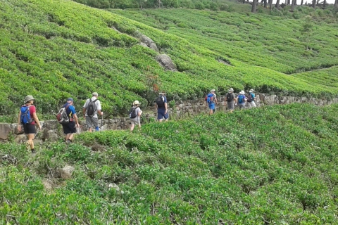
The pekoe trail Views and brews: what it’s like to hike the hills tea country walking trail takes visitors through the heart of tea estates and hill country. historic tea estates,is a hiker’s dream.
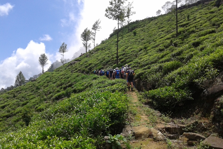
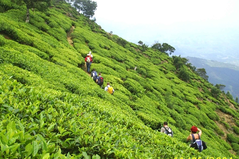
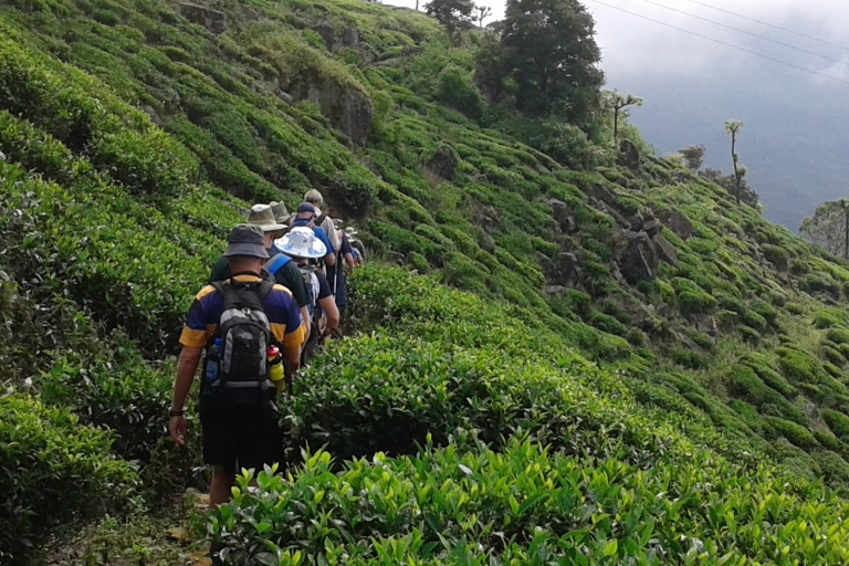
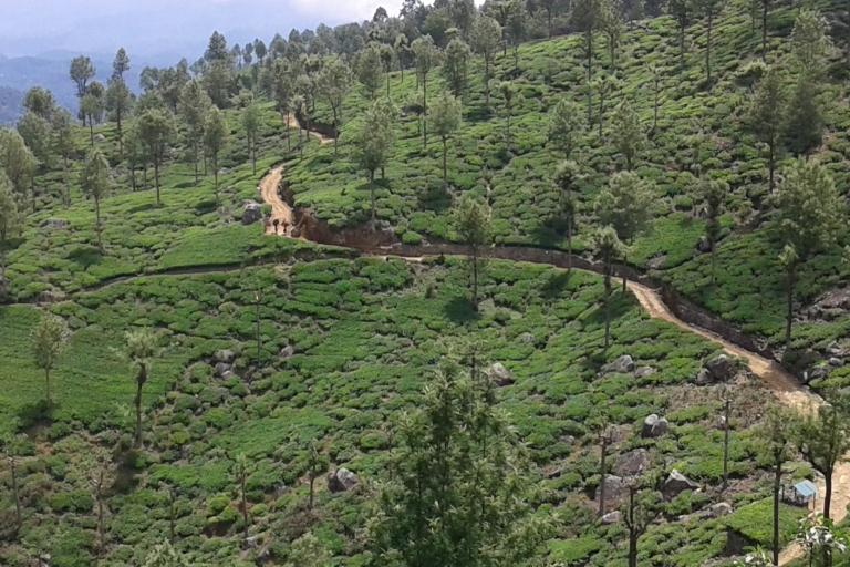
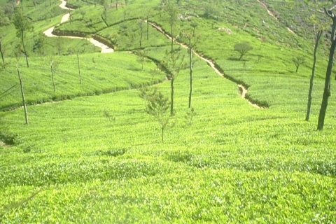
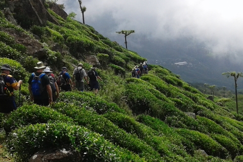
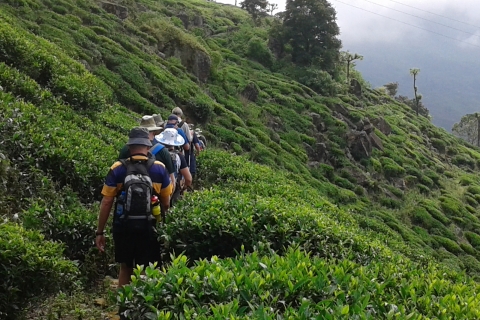
Today’s stage starts at St. Catherine, situated in the upper division of Nayabedda Tea Estate at an altitude of 1875 meters, the second-highest starting point of all The Pekoe Trail stages. Although the total length of the stage is only just over 9.5 km, this stage is packed with all the magic of the trail; villages, places of worship, tea plantations, farms, historic bungalows, forested areas, and endless, never-ending breathtaking views of the mountains and valleys below as we descend towards Liyangahawela and then onto Makulella. The stage ends at an altitude of 1262 meters, so if you are considering doing it in reverse it’s a climb, albeit a very special day. This is partly the reason the stage works very well as a 9.5 km stage but either way, you do it, this one is truly spectacular.
The weather on the upper divisions of the Nayabedda Estate is unstable so make sure you are well equipped. Temperatures can drop suddenly and considerably when the clouds set in. When the sun is shining, it’s a strong tropical sun, so be sure to wear a hat and apply sun cream.
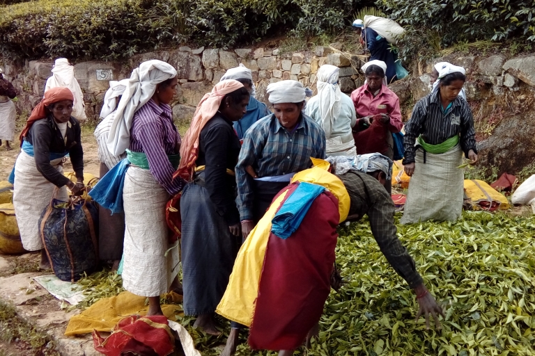
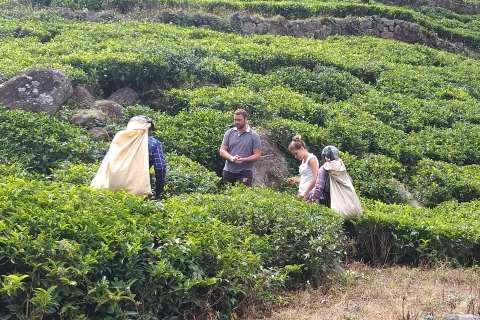
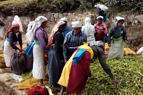
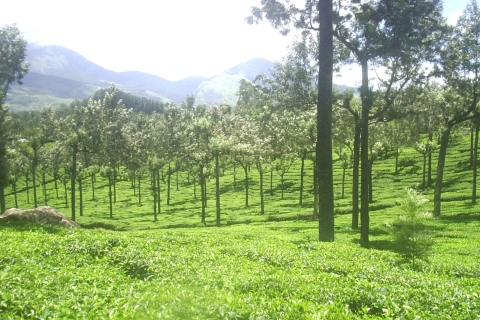
St. Catherine is a tea plantation workers' village sitting high up on a plateau well known because of Lipton Seat, the place from where Sir Thomas Lipton liked to survey his tea empire.
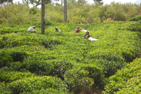
The first 500 meters cross the plantation village of St. Catherine and the village homes that surround the town. Every square inch of the land around every village home is used for cultivation, be it vegetables like carrots or beans, leaks, or cabbage. Much of the produce is then sold by the local villagers at the markets of Haputale and Bandarawela. At the 500-meter mark, we enter a short patch of Eucalyptus Forest and then begin a gradual zig-zag descent towards the edge of the plateau, passing by more village homes, cultivations, and tea.
At the 1.5 km point, we leave the last little hamlet behind on our right-hand side. Soon after a short patch of forest, the trails give way to one of the most spectacular locations on the entire Pekoe Trail. Presiding over this incredible place is an old and hollow pine tree the local villagers come to honor and respect.
The highest mountain you see in front of you is called Namunukula, which in Sinhala means "Nine Peaks". Its main peak is 2,036 meters high. According to Wikipedia during the Ming treasure voyages of the 15th century, the Chinese fleet led by Admiral Zheng made use of this geographical feature in their navigation to Sri Lanka, as the mountain is the first visible landmark of Sri Lanka after departing from Sumatra. the village immediately below. Balagala has a very impressive and enormous Hindu Kovil you will see looking up on your left-hand side as you cross the village.
Highlights
- Tea Estate at an altitude of 1875 meters,
- St. Catherine is a tea plantation workers' village
- Liptons seat
Guiding languages
IMPORTANT INFORMATION
Hotel pick-up and drop-off
When should I book?
To guarantee availability book as soon as possible. Early booking is worth consideration especially if you planning the trip during high season like public holidays or weekends.
Cancellations
Cancellation is not possible. If you cancel it anyway or not show up on the excursion you will still be charged the full price of the activity and the money you paid will not be refunded.